PAPER MAP / WHOLE TRAIL
Carry one waterproof route map.
The HARVEY Cotswold Way map is a lightweight waterproof strip map for the complete National Trail. Check the current edition before ordering.
Buy the Cotswold Way map ↗ (new tab)COTSWOLDS · NAMED TRAIL
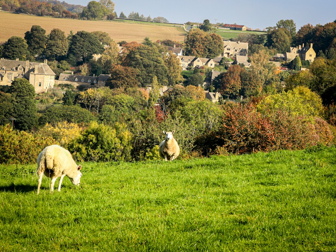
Honey-coloured villages, hilltop views and welcoming inns.
Walk the 164 km National Trail from Chipping Campden to Bath. This practical eight-section plan uses genuine overnight settlements and flags the sparse stages where meals, water and transfers need advance planning.
01 / GET YOUR BEARINGS
Loading the map. Places along the route are listed below.
Location overview: numbered pins mark approximate places. Dotted connections show their order, not the walking path. Use the linked route maps for navigation.
PAPER MAP / WHOLE TRAIL
The HARVEY Cotswold Way map is a lightweight waterproof strip map for the complete National Trail. Check the current edition before ordering.
Buy the Cotswold Way map ↗ (new tab)GUIDEBOOK + OS MAPPING
Cicerone's guide describes the full route and includes mapping for detailed planning. Check the edition and delivery time before ordering.
View the Cotswold Way guidebook ↗ (new tab)OFFICIAL DIGITAL MAP
Use the official interactive trail information and route pages for the mapped line, distances, notices and facilities.
Open the official route map ↗ (new tab)OFFICIAL LODGING DIRECTORY
Compare the named HutHikes anchor with the National Trail accommodation directory, then verify the actual walking connection before changing properties.
Browse official accommodation listings ↗ (new tab)Carry the paper map as a backup and save your selected digital route before departure. The HutHikes map is for planning context, not turn-by-turn navigation. Check current route notices, weather, seasonal transport and diversions. Map and guidebook links are ordinary links; HutHikes does not currently earn a commission from them.
02 / CHOOSE YOUR SUPPORT
You can change this as you plan.
03 / MAKE ROOM FOR THE WALK
Start with the route length. Then allow time to enjoy it.
The default eight-section plan balances the long southern stages with useful overnight settlements.
Walking-day ranges are planning estimates, not a booked daily itinerary. Choose actual overnight stops and check stage distances before reserving. Rest days add time; they do not shorten walking stages.
04 / THE PLACES ALONG THE WAY
Start with one researched anchor at every overnight stop. A trail-distance claim appears only where the property publishes one; otherwise the access note says exactly what is and is not verified. Use the direct property link first, then Booking.com where a matching listing is available, the official trail directory, and the two map choices.
On the trail means the property or official route source places the stay directly on the Way—no separate off-route transfer is normally planned. Near / stage stop means the stay is at a named stage stop, start or finish; the access note gives the most specific credible distance or relationship we found.
Use the named stay as your map anchor. "View hotel on route map" pins the property alongside approximate stage places. The dotted connections are not the surveyed trail and cannot measure a hotel-to-trail distance. "Open in Google Maps" helps inspect paths and directions; check the official route map for the marked trail. Any access distance or time below comes from its linked source and is labelled when property-reported.
| Place | Next walking section | Stays & trail access |
|---|---|---|
| 1 Chipping Campden | 9.9 mi / 16.0 km to Stanton |
Noel Arms Hotel ↗ (new tab)Also available on Booking.com ↗ (new tab) Historic inn rooms A central arrival-night anchor in Chipping Campden, close to the Cotswold Way's Market Hall start. Confirm the short walking line from your room and any packed-lunch request. View hotel on route map ↓Open in Google Maps ↗ Hotel location & accommodation information ↗ (new tab)Source checked 24 Sep 2026Official National Trail lodging directory ↗ (new tab)Broader Booking.com search around Chipping Campden ↗ (new tab)Not filtered by distance from the trail. First open the named anchor stay above, then compare alternatives on the map and verify the walking route.
|
| 2 Stanton | 13.0 mi / 21.0 km to Winchcombe |
Stanton Guildhouse ↗ (new tab)Residential guesthouse for walking stays The Guildhouse states that the Cotswold Way passes the property and that walking-holiday stays can be arranged. It is an enquiry-led residential option rather than ordinary live hotel inventory; ask about a one-night booking, breakfast, dinner and luggage before relying on it. View hotel on route map ↓Open in Google Maps ↗ Property trail-access, rooms & catering information ↗ (new tab)Source checked 24 Sep 2026Official National Trail lodging directory ↗ (new tab)Broader Booking.com search around Stanton ↗ (new tab)Not filtered by distance from the trail. First open the named anchor stay above, then compare alternatives on the map and verify the walking route.
|
| 3 Winchcombe | 9.9 mi / 16.0 km to Cleeve Hill |
The Lion Inn ↗ (new tab)Also available on Booking.com ↗ (new tab) Inn rooms and restaurant A central Winchcombe anchor for the end of the Stanton stage. The property advertises rooms and dining; reserve dinner and confirm breakfast or packed lunch. View hotel on route map ↓Open in Google Maps ↗ Inn rooms, dining & location information ↗ (new tab)Source checked 24 Sep 2026Official National Trail lodging directory ↗ (new tab)Broader Booking.com search around Winchcombe ↗ (new tab)Not filtered by distance from the trail. First open the named anchor stay above, then compare alternatives on the map and verify the walking route.
|
| 4 Cleeve Hill | 13.7 mi / 22.0 km to Painswick |
Cleeve Hill Hotel ↗ (new tab)Also available on Booking.com ↗ (new tab) Walker-friendly hotel rooms The hotel's Cotswold Way page states that it is five minutes from the trail and welcomes luggage deliveries. Breakfast is advertised; make a separate dinner plan. View hotel on route map ↓Open in Google Maps ↗ Property trail-access, breakfast & luggage information ↗ (new tab)Source checked 24 Sep 2026Official National Trail lodging directory ↗ (new tab)Broader Booking.com search around Cleeve Hill ↗ (new tab)Not filtered by distance from the trail. First open the named anchor stay above, then compare alternatives on the map and verify the walking route.
|
| 5 Painswick | 8.7 mi / 14.0 km to Kings Stanley |
Tibbiwell Lodge ↗ (new tab)Also available on Booking.com ↗ (new tab) B&B rooms in Painswick A Painswick overnight anchor rather than a measured on-trail claim. Check the route-map link for the exact turn, and confirm breakfast, luggage acceptance and any packed lunch. View hotel on route map ↓Open in Google Maps ↗ Property accommodation & location information ↗ (new tab)Source checked 24 Sep 2026Official National Trail lodging directory ↗ (new tab)Broader Booking.com search around Painswick ↗ (new tab)Not filtered by distance from the trail. First open the named anchor stay above, then compare alternatives on the map and verify the walking route.
|
| 6 Kings Stanley | 14.9 mi / 24.0 km to Wotton-under-Edge |
Orchardene ↗ (new tab)Bed and breakfast Orchardene describes itself as located on the Cotswold Way and advertises a hearty breakfast. Evening choices are limited, so arrange dinner or transport before walking. View hotel on route map ↓Open in Google Maps ↗ Property trail-access & breakfast information ↗ (new tab)Source checked 24 Sep 2026Official National Trail lodging directory ↗ (new tab)Broader Booking.com search around Kings Stanley ↗ (new tab)Not filtered by distance from the trail. First open the named anchor stay above, then compare alternatives on the map and verify the walking route.
|
| 7 Wotton-under-Edge | 14.9 mi / 24.0 km to Tormarton |
The Swan Hotel ↗ (new tab)Also available on Booking.com ↗ (new tab) Town hotel rooms and restaurant The hotel is a practical Wotton anchor with rooms and a restaurant. The trail relationship is not stated as a measured distance here, so compare the property pin with the route map. View hotel on route map ↓Open in Google Maps ↗ Hotel rooms, restaurant & location information ↗ (new tab)Source checked 24 Sep 2026Official National Trail lodging directory ↗ (new tab)Broader Booking.com search around Wotton-under-Edge ↗ (new tab)Not filtered by distance from the trail. First open the named anchor stay above, then compare alternatives on the map and verify the walking route.
|
| 8 Tormarton | 16.8 mi / 27.0 km to Bath |
The Compass Inn ↗ (new tab)Also available on Booking.com ↗ (new tab) Country inn rooms and dining The inn is outside Tormarton rather than a confirmed on-trail bed. Check the two maps and pre-arrange a taxi or property transfer if the walking connection is unsuitable. View hotel on route map ↓Open in Google Maps ↗ Inn rooms, dining & location information ↗ (new tab)Source checked 24 Sep 2026Official National Trail lodging directory ↗ (new tab)Broader Booking.com search around Tormarton ↗ (new tab)Not filtered by distance from the trail. First open the named anchor stay above, then compare alternatives on the map and verify the walking route.
|
| 9 Bath | Finishing area |
Abbey Hotel Bath ↗ (new tab)Also available on Booking.com ↗ (new tab) Central hotel rooms A central finish-night anchor near Bath Abbey. It is a city hotel rather than an on-path lodging claim; use the two maps to check the short route from the official finish. View hotel on route map ↓Open in Google Maps ↗ Hotel location & room information ↗ (new tab)Source checked 24 Sep 2026Official National Trail lodging directory ↗ (new tab)Broader Booking.com search around Bath ↗ (new tab)Not filtered by distance from the trail. First open the named anchor stay above, then compare alternatives on the map and verify the walking route.
|
These are lodging starting points, not reserved rooms. Access notes and any quoted distances come from the linked sources. Confirm your dates, room type, actual walking route and luggage collection with each property before booking.
MEALS, SNACKS & DRINKING WATER
The cards follow the walking section selected above.
Opening days and meal arrangements change. Reserve meals at remote overnight stops, request packed lunches in advance and fill or buy water before each walking section. Official top-up taps are useful planning anchors, but always check current availability.
This is a planning guide, not a promise that a café, shop, meal service or tap will be open. Confirm dietary needs, packed lunches, dinner reservations and water access directly before walking.
LUGGAGE TRANSFERS
Arrange transfers separately when booking your own walk.
Nightly accommodation-to-accommodation delivery is the usual pattern. Selected moves and finish storage are possible only when the courier and every receiving property agree, so send the exact stop list before paying.
EVERY NIGHT
Use accepted properties at every stop and confirm collection access, especially at small B&Bs, rentals and the off-route Tormarton option.
SELECTED MOVES
Ask for a written quote naming only the transfers you want. Do not assume that a standard full-route booking can skip nights.
FINISH STORAGE
Confirm that the final hotel will accept and hold the bag before it arrives; otherwise ask the courier about a staffed collection point.
SPECIALIST ROUTE SERVICE
Advertises baggage transfers for Cotswold walking holidays. Confirm the exact properties, season, bag limits and any selected-stop request.
Check Cotswold Luggage Transfers ↗ (new tab)ROUTE BAGGAGE SERVICE
Sherpa Van serves long-distance walking routes. Ask it to confirm every Cotswold Way stop, especially a non-nightly plan or accommodation away from the route.
Check Sherpa Van ↗ (new tab)Confirm current prices, operating dates, collection times, excluded properties, liability and the Bath handoff directly. An arranged walking holiday may already include daily transfers.
Many self-guided Cotswold Way packages include accommodation and daily luggage transfer. Compare their actual overnight settlements with the plan here before booking a separate courier.
Confirm breakfasts, packed lunches, dinner reservations and transfers from any off-route property.
Compare operator trips →Use Moreton-in-Marsh for the start and Bath Spa for the finish. Chipping Campden has no station, so pair the train with a dated bus or pre-booked taxi. Bath Spa is a mainline rail hub close to the southern finish.
Travel by rail to Moreton-in-Marsh, then continue to Chipping Campden by the available local bus or a pre-booked taxi. Check the exact day—Sunday and evening connections can be limited—and allow an arrival night rather than relying on a same-day walking start.
The trail finishes by Bath Abbey. Bath Spa station is in the city centre with onward trains toward Bristol, London and other national connections. Check the walk from your finish hotel and any engineering work on your travel date.
There is no simple direct rail line between Bath and Chipping Campden. Use the National Rail planner for Bath Spa to Moreton-in-Marsh and reserve the final local connection separately; a taxi may be the practical last leg.
Winchcombe, Painswick, Kings Stanley, Wotton-under-Edge and Tormarton depend on local buses or taxis rather than trailhead rail stations. Confirm the dated service and the distance from the path before treating any one of them as an exit point.
Timetables change. Verify the exact date, Sunday service, last departure, taxi availability and walking distance between every stop, hotel and trail point.
05 / TRIPS OFFERED ON THIS TRAIL
These are bookable trips offered by independent providers along all or part of this trail. Walking trips are the core comparison; when a genuinely relevant horseback, cycling or running version exists, we label it clearly as a different way to experience the same route landscape.
6 trip options from 6 operators.
Self-guided and guided are both included. Use the Service filter above to separate them. This is a researched selection, not every provider or itinerary. Examples checked 24 September 2026. Starting prices are per person; check your dates, room basis, single supplements and inclusions. Currencies are shown as advertised.
| Operator & trip | Service & coverage | Time | Advertised from | Check the details |
|---|---|---|---|---|
| Hillwalk ToursCotswold Way walking holidays | Self-guidedWhole trail | 11 days / 10 nights9 walking days | Check current price | Self-guided itineraries with accommodation and luggage transfer; compare daily stages and inclusions. View trip with Hillwalk Tours ↗ (new tab) |
| Absolute EscapesCotswold Way self-guided walking holiday | Self-guidedWhole trail | 10 days / 9 nights8 walking days | Check current price | Multiple paces with accommodation, route information and baggage transfer options. View trip with Absolute Escapes ↗ (new tab) |
| Macs AdventureCotswold Way | Self-guidedWhole trail | 10 days / 9 nights8 walking days | Check current price | Self-guided full-route and shorter options; confirm the current itinerary and inclusions. View trip with Macs Adventure ↗ (new tab) |
| ContoursCotswold Way | Self-guidedWhole trail | 10 days / 9 nights8 walking days | Check current price | Customisable self-guided itineraries with accommodation and luggage transfer. View trip with Contours ↗ (new tab) |
| Cotswold WalksCotswold Way walking holidays | Self-guidedWhole trail | 10 days / 9 nights8 walking days | Check current price | Local specialist offering self-guided itineraries and accommodation upgrades; ask about exact stages. View trip with Cotswold Walks ↗ (new tab) |
| HF HolidaysCotswold Way guided trail | GuidedWhole trail | 8 days / 7 nights6 walking days | Check current price | Guided group option; check live departures, route coverage and transfer arrangements. View trip with HF Holidays ↗ (new tab) |
BEFORE THE BOOKINGS
The escarpment repeatedly climbs and descends. Services are sparse on several middle and southern stages, so reserve rooms and dinners early and carry lunch and water rather than relying on an opening.
Confirm an indoor bed for every night, the distance to each stay, and how you will reach and leave the route.
National Trails · official Cotswold Way route ↗Planning guide · Facts checked 24 September 2026. Dates, access and services may change.
Explore all walks