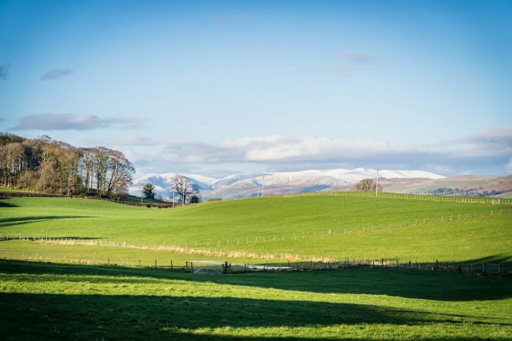
Walk from the Pennines to Morecambe Bay
The Westmorland and Furness Way runs 120 miles / 193 km from Alston to Furness Abbey. Its six official sections cross the Eden Valley, Howgills and Lake District before reaching the Furness coast. The route opened in September 2026, so book beds and confirm local transfers before setting off.
At a glance
England · 120 mi / 193 km · 8–17 walking days · Inn-to-inn and guesthouse stays. The official 12-day “holiday pace” itinerary below is a planning baseline. Some suggested stops sit off the signed path or have limited accommodation; the published mileage does not include those detours.
Official 12-day itinerary
- Alston → Milburn — 16 mi / 26 km
- Milburn → Appleby-in-Westmorland — 8.6 mi / 14 km
- Appleby-in-Westmorland → Brough — 10.1 mi / 16 km
- Brough → Kirkby Stephen — 4.3 mi / 7 km
- Kirkby Stephen → Ravenstonedale — 5.5 mi / 9 km
- Ravenstonedale → Sedbergh, high route — 12.5 mi / 20 km
- Sedbergh → Burneside — 17 mi / 27 km
- Burneside → Bowness-on-Windermere — 10 mi / 16 km
- Bowness-on-Windermere → Satterthwaite — 5.5 mi / 9 km
- Satterthwaite → Ulverston — 15.5 mi / 25 km
- Ulverston → Newbiggin — 8.6 mi / 14 km
- Newbiggin → Furness Abbey — 8.4 mi / 13 km
Days 1, 7 and 10 are long. Combine short stages only after checking accommodation and transport. Compare the official 8-, 12- and 17-day itineraries.
Where to stay
Start with the official route accommodation directory. These are useful booking towns, not a claim that any particular property is directly on the trail:
- Alston — hotel map · booking search
- Appleby-in-Westmorland — hotel map · booking search
- Kirkby Stephen — hotel map · booking search
- Sedbergh — hotel map · booking search
- Bowness-on-Windermere — hotel map · booking search
- Ulverston — hotel map · booking search
- Barrow-in-Furness — hotel map · booking search
Optional splurge stop: Bowness-on-Windermere has the widest choice for a comfortable lake stay or a rest night. Check the exact property against the signed route and ferry plan before booking.
Getting there, bags and getting back
Alston is the northern trailhead; Furness Abbey is the southern finish near Barrow-in-Furness. Plan rail and local road connections for your dates. The official transport guide explains access by section. Lowbyer Manor advertises baggage transfers and a guest taxi; ask whether it covers every overnight stop in your exact itinerary. Arrange transfers before committing to rooms at small stage endpoints.
Food, water and navigation
Carry lunch and water on longer fell and valley days; do not assume food is available at every suggested stop. Use the official six-section route guide for stage maps and GPX downloads, and check current notices before walking. The route is new enough that a downloaded track and the official map are especially useful.
Book yourself or get help
A DIY trip means booking each room, checking whether the lodging is on the route, and arranging any bag moves and local taxis separately. Lowbyer Manor is a transfer service, not a verified end-to-end packaged walking holiday. If a packaged itinerary becomes available, compare its exact night stops and included transfers against the official route.